Regional water plans
A regional water plan describes how the water authority ensures that there is sufficient and clean water in a specific area. We draw up a plan for each area.
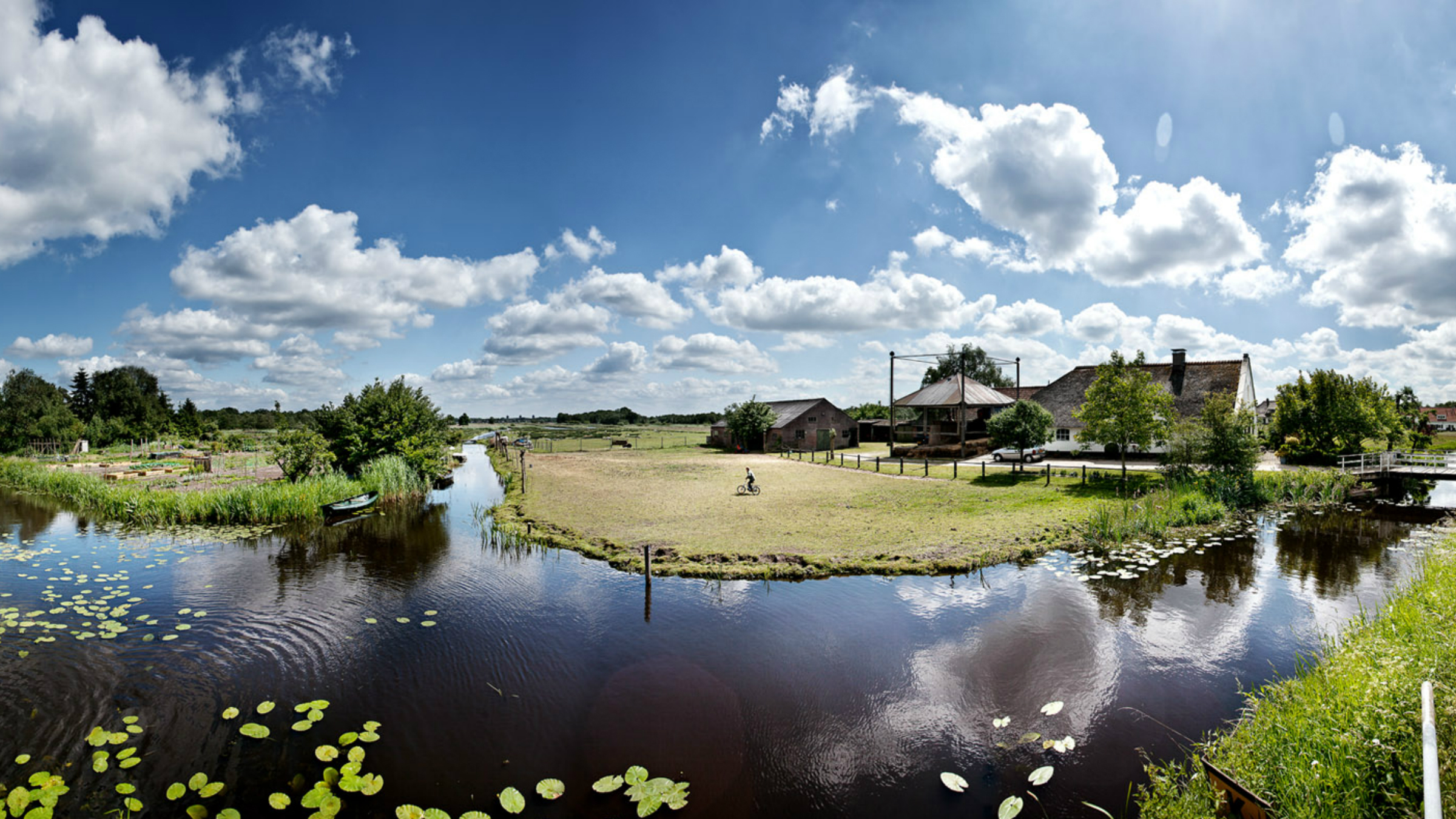 We draw up a regional water plan to find out whether a water system is still functioning properly. This is the case when ditches, canals and other water bodies have the correct level of water. And when water plants and animals that belong in these waters actually live and thrive there.
In the plan we also evaluate if and how we can improve the water system.
A regional water plan focuses on:
- the water level
- the water quality
- plants and animals in and around the water
- the supply and drainage of water
- the management and maintenance of the water
In the overview of our work you can see whether we are planning to carry out work in your area. Or whether we are carrying out work in your area now.
How do we draw up a regional water plan?
We use the following 4 steps to draw up a regional water plan:
1. Collect information
We collect all kinds of information about the water and water bodies in the area. For example, about the water quality or level. As a resident you can contribute to this process by sharing your knowledge about the area and your wishes regarding the water. For each plan, we post an invitation to contribute to this process in the local media. It can take over a year to collect all the required information.
2. Draft
Once we have all the information we need, we create a draft for the regional water plan. This draft includes proposed measures for improving the water system.
3. Public participation
You can give feedback on the draft regional water plan and the proposed measures via public participation.
Read more about public participation
4. Final plan
The water authority draws up the final regional water plan. Then, Waternet (You are leaving this website) carries out the measures.