The correct water levels
We ensure there is sufficient water for nature areas, agricultural areas and shipping. We ensure that the water level is not too high or too low.
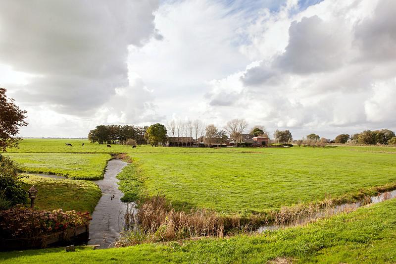
Is the water level too high in an area? Then our pumping stations will remove the water. Too much water can cause problems. For example flooding basements, too wet fields or flooding in general.
Is the water level too low in an area? Then we redirect water to this area. Too little water can cause problems for agriculture or shipping and drought in nature reserves.
We dredge ditches and canals every 10 to 15 years. And every year we remove water plants to ensure the water flow is not obstructed.
Who manages the water levels?
The Regional Public Water Authority Amstel, Gooi en Vecht takes decisions about the water level. We do this in consultation with::
- Municipalities and provinces
- Other water authorities
- Rijkswaterstaat (You are leaving this website)
How do we determine the water level?
We determine how high the water should be in the ditches and canals of each area. For example, a nature reserve requires a different water level than an agricultural area.
Our service area is divided into smaller areas. Each of these areas are approximately the size of 50 soccer fields. We determine the ideal water level for each of these areas in a water level agreement.
The rules for determining a water level are stipulated in the nota peilbeheer (pdf, 1,6 MB) (You are leaving this website) (water level management note). This ensures that all parties are able to understand how a water level agreement is reached: together with multiple parties.
Water level in Amsterdam
We determined the correct water level for the water bodies in Amsterdam in 2009. Please view the peilbesluiten Amsterdam (pdf, 162 kB) (Amsterdam water level agreement).
Rain and drought
As the climate is changing, we are taking the potential affects of water problems into account. We check the most recent weather forecasts of the KNMI (You are leaving this website). We use this data to prevent potential problems caused by heavy rainfall. Now and in the future.
We must collect or ensure adequate drainage of water in the event of heavy rainfall. To accomplish this, we reach out to other parties beyond the borders of our service area . For example, by consulting other water authorities or provinces. Together we can ensure a smarter distribution of water over various areas.
Mills are being used again
In the past, The Netherlands could not survive without mills. They were used to drain the land and keep it dry.
Since 2013 , we are once again using mills to pump water away . Mills are better for the environment than pumping stations. And they do not disturb the migration of fish as much. Find out how we use mills in the Molennota (Mills note).